Site AnalysisWeb app
A 360° site analysis, from a pin on the map to a design brief.
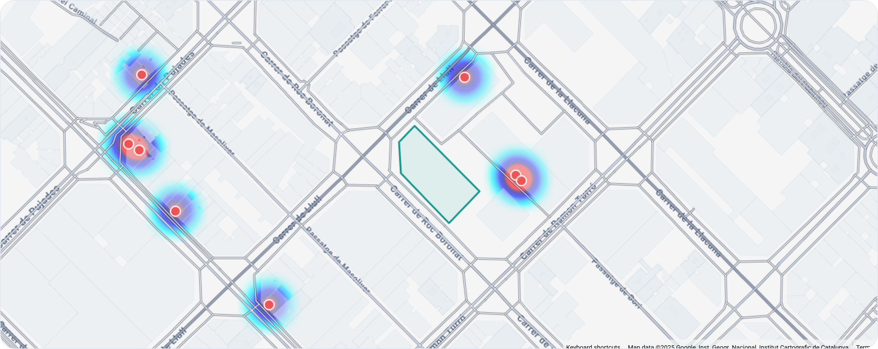
Draw a boundary anywhere on Earth. UrbanEyes collects buildings, land use, terrain, climate and planning context, then returns a feasibility report, quantified metrics, environmental simulations and a generative massing you can export.
- 1
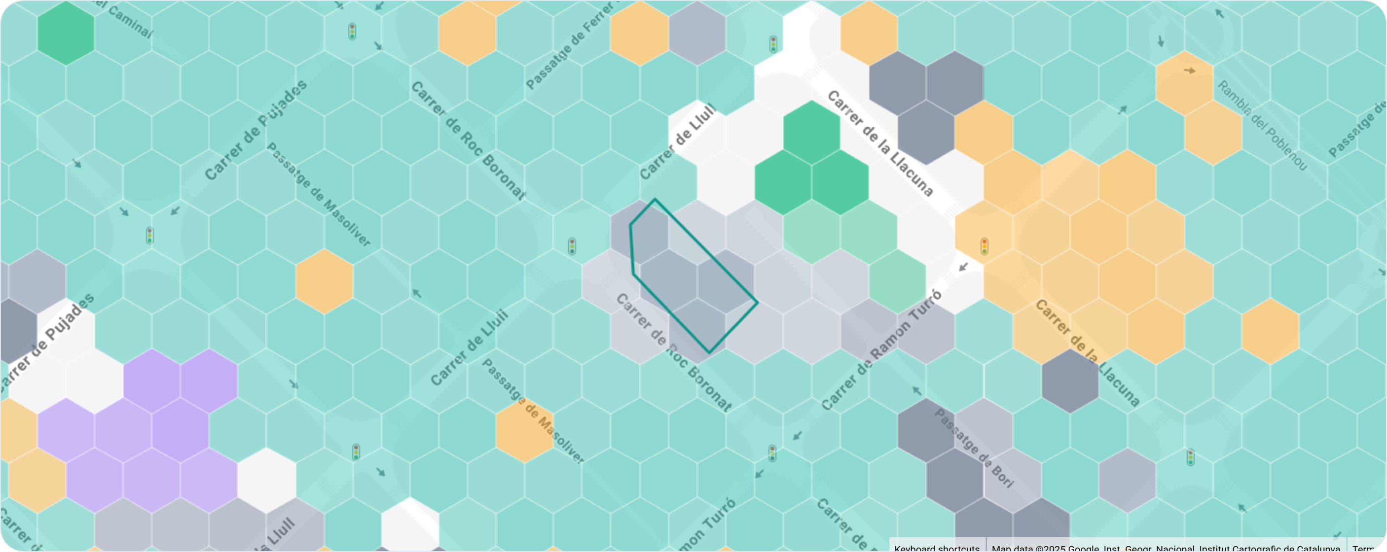
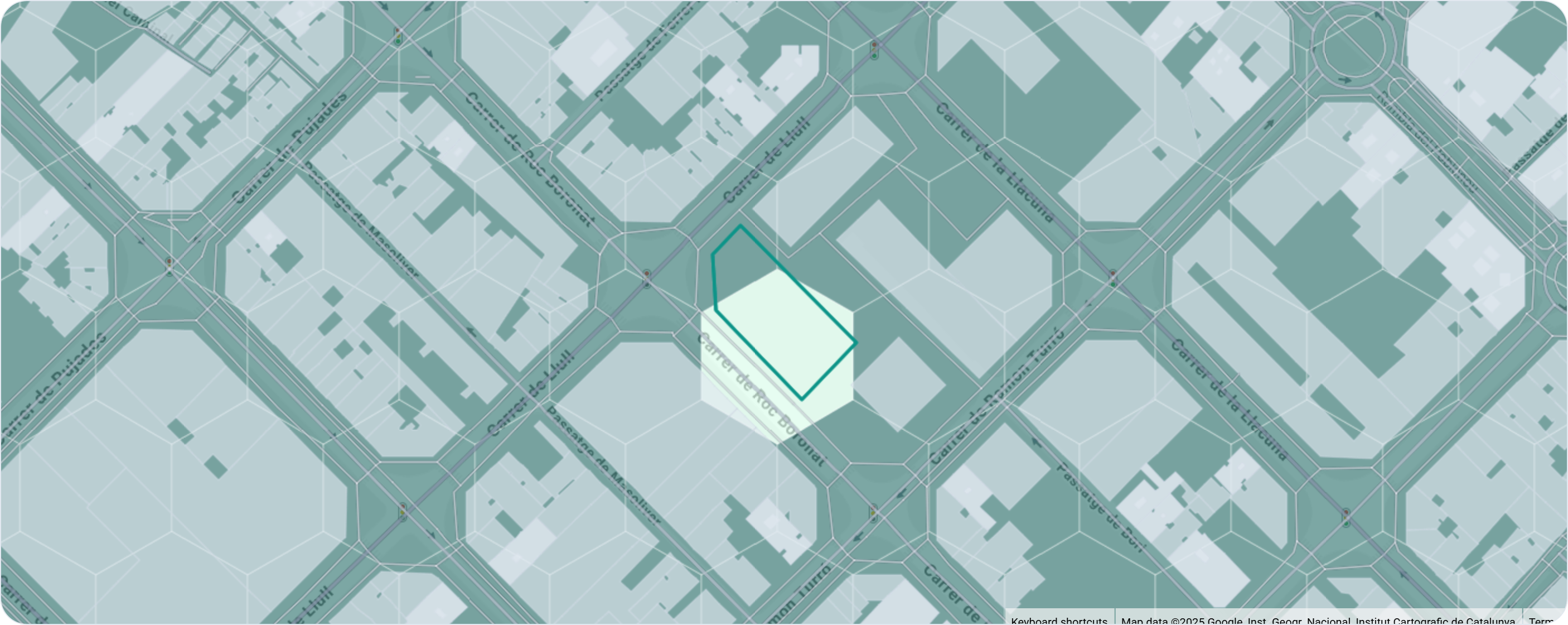
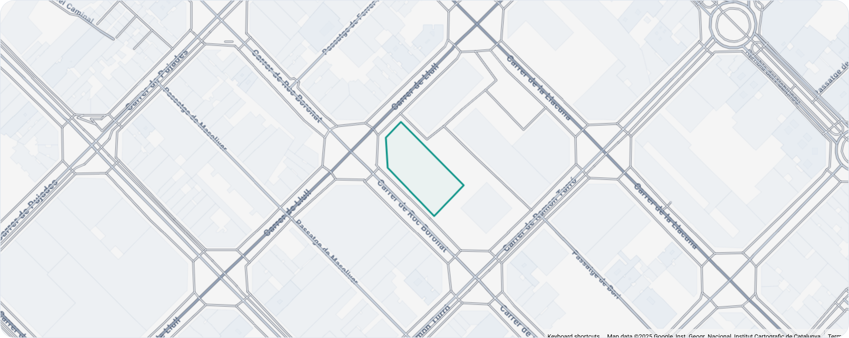
Context maps
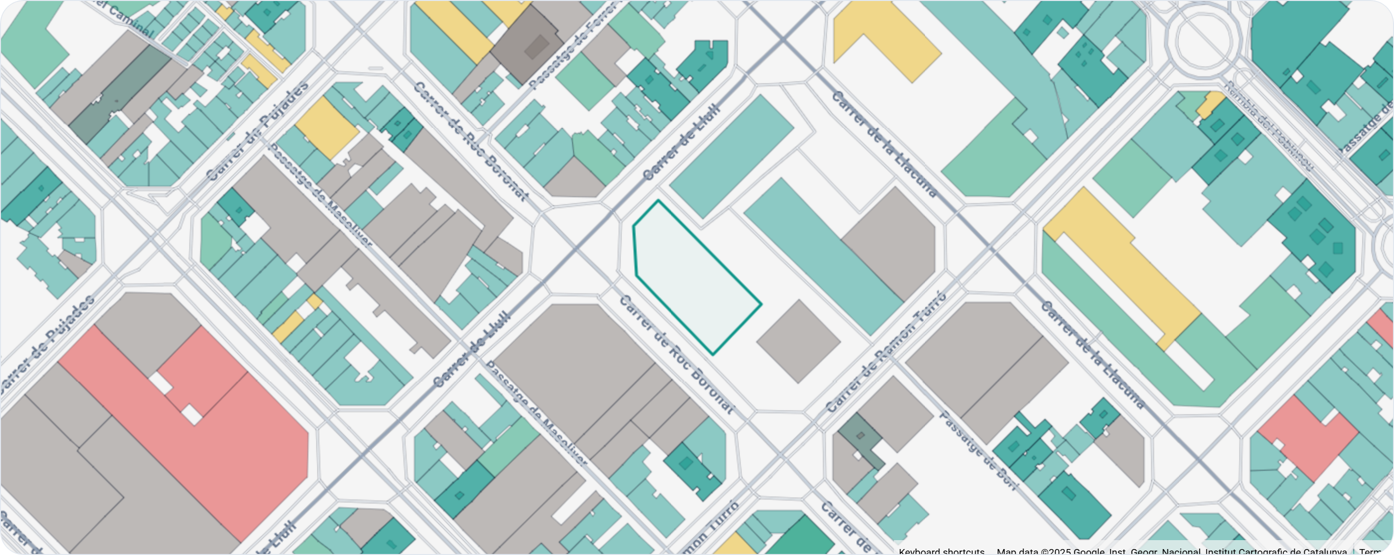
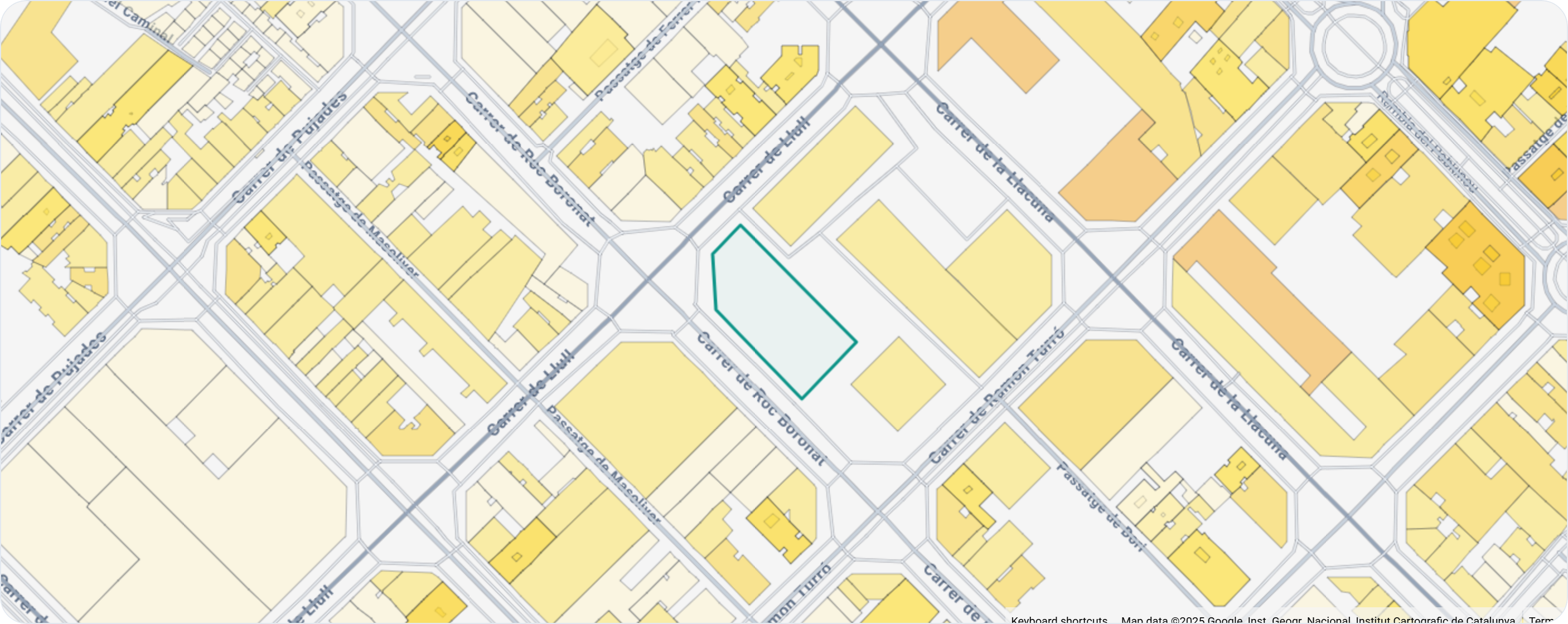
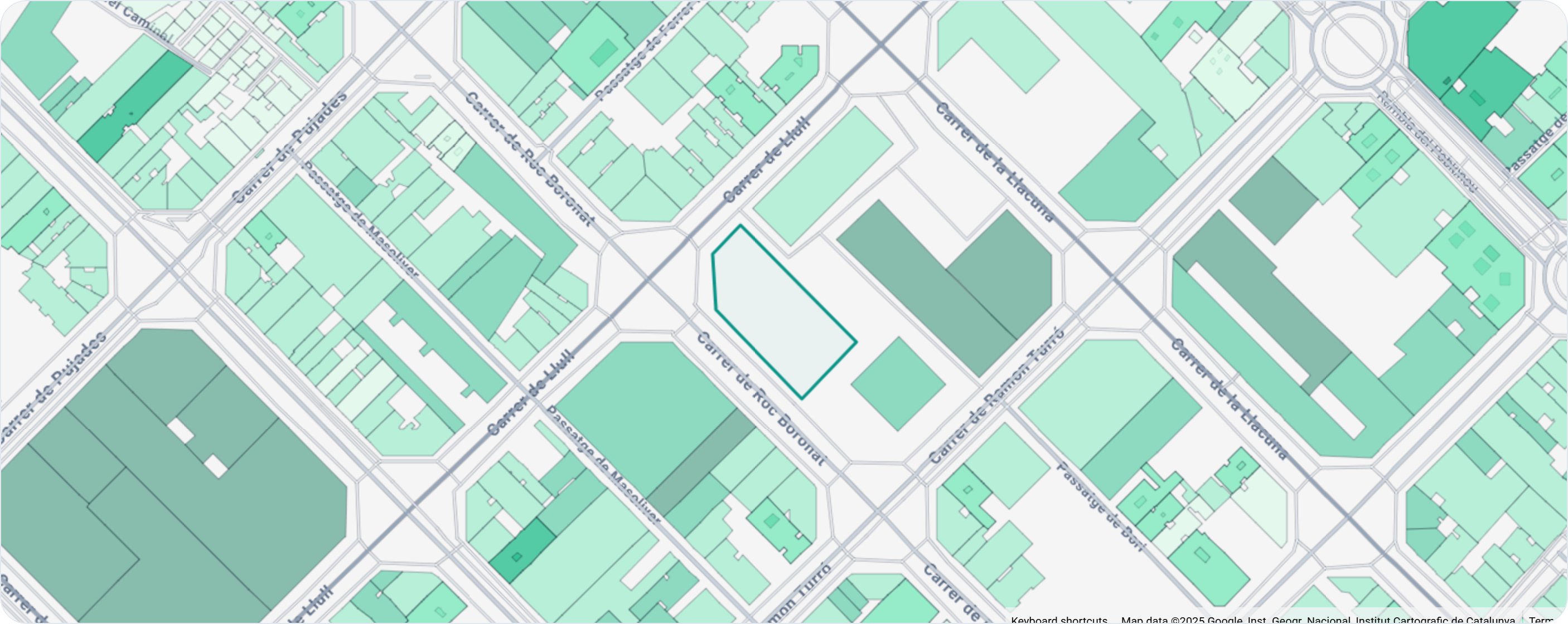
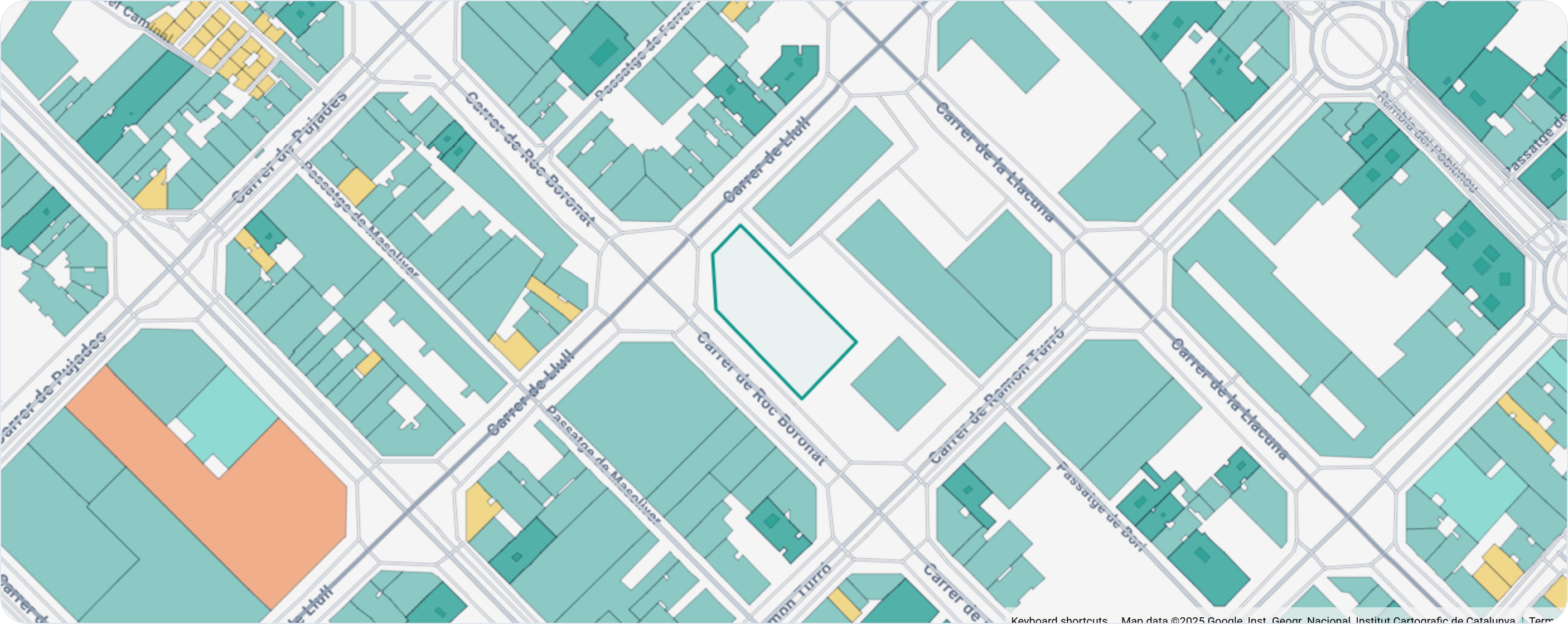
20+ site maps in 2D and 3D, ready for boards and CAD.
- 2
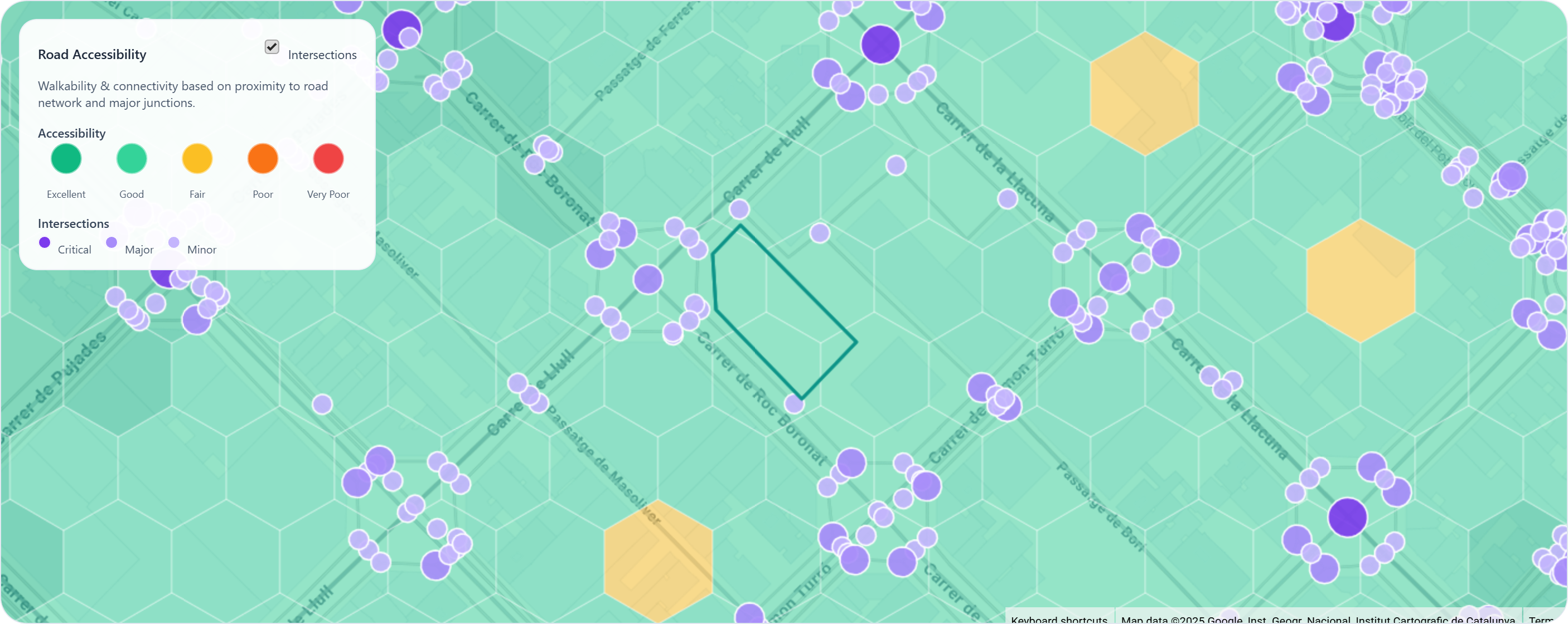
Quantitative insights
50+ metrics on density, land use, green cover, access and amenities.
- 3
Environmental simulation
Sun path, shadows, wind and UTCI thermal comfort, run in the browser.
- 4
Feasibility report
Zoning, FAR, buildable area and indicative construction cost, written up with sources.
- 5
Generative massing
Concept Planner proposes 3D massing options inside your boundary.
From €4.6 per analysis
One credit covers the whole analysis.